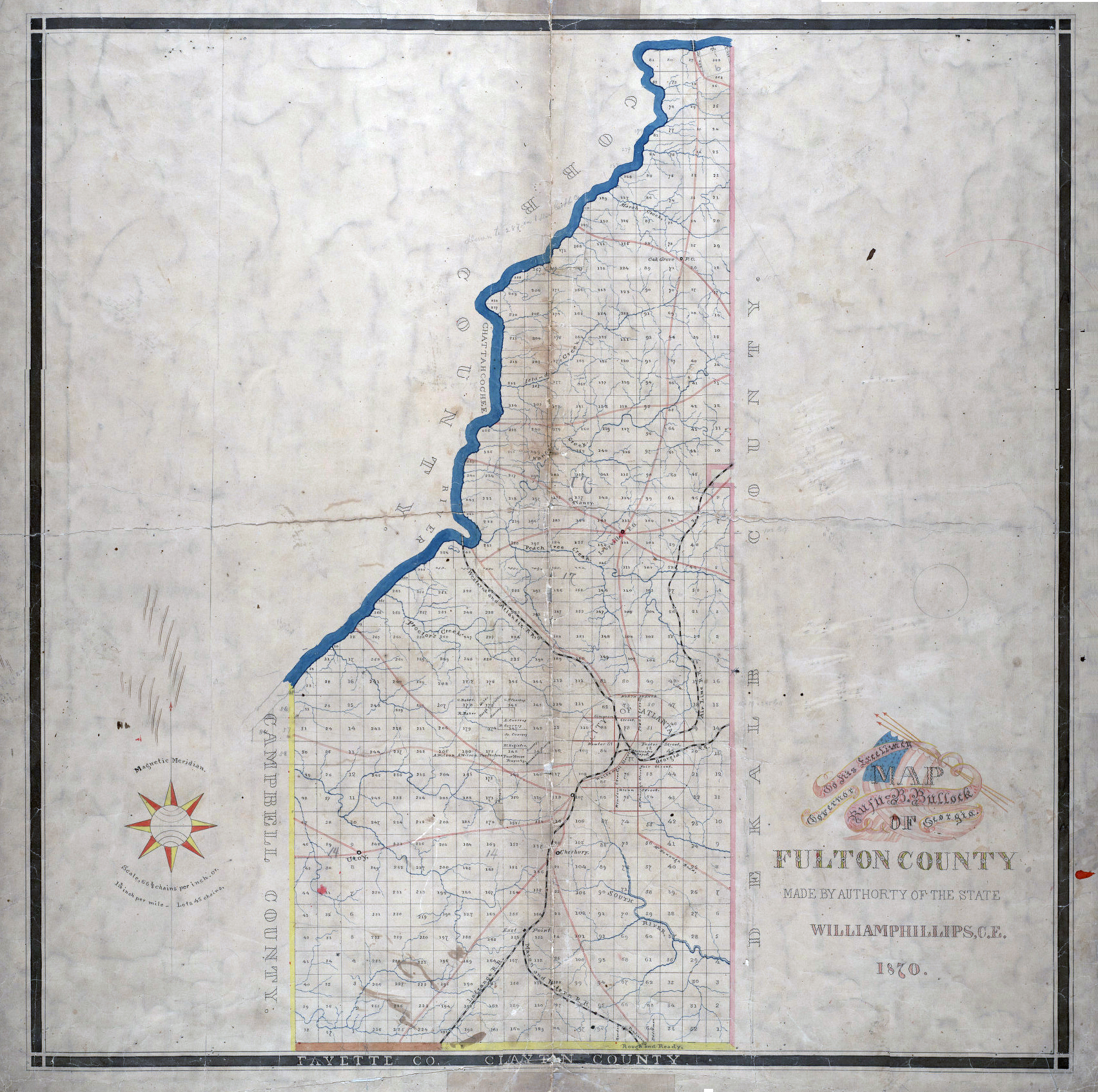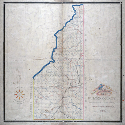
William Phillips' "Map of Fulton County," 1870. (Georgia Archives) |
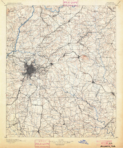
Atlanta, Georgia, quadrant, U. S. Geological Survey, surveyed in 1887-1888, edition of Sept 1895, reprinted June 1900. (scanned from author's collection) |
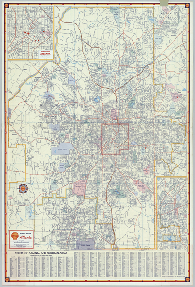
Shell Oil Company map of Atlanta, 1956, showing the city's expressway system, begun in 1949 and soon to become part of the interstate highway system. (scanned from author's personal collection) |
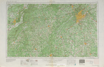
United States Geological Survey, Atlanta quadrant, 1953. (USGS) |
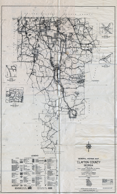
"General Highway Map Clayton County, Georgia," 1959, Georgia Department of Transportation. (scanned from author's collection) |
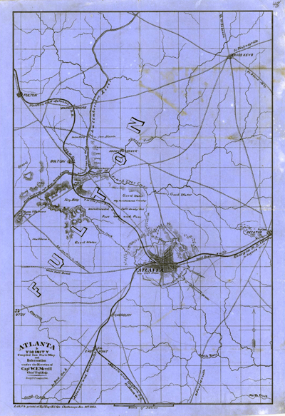
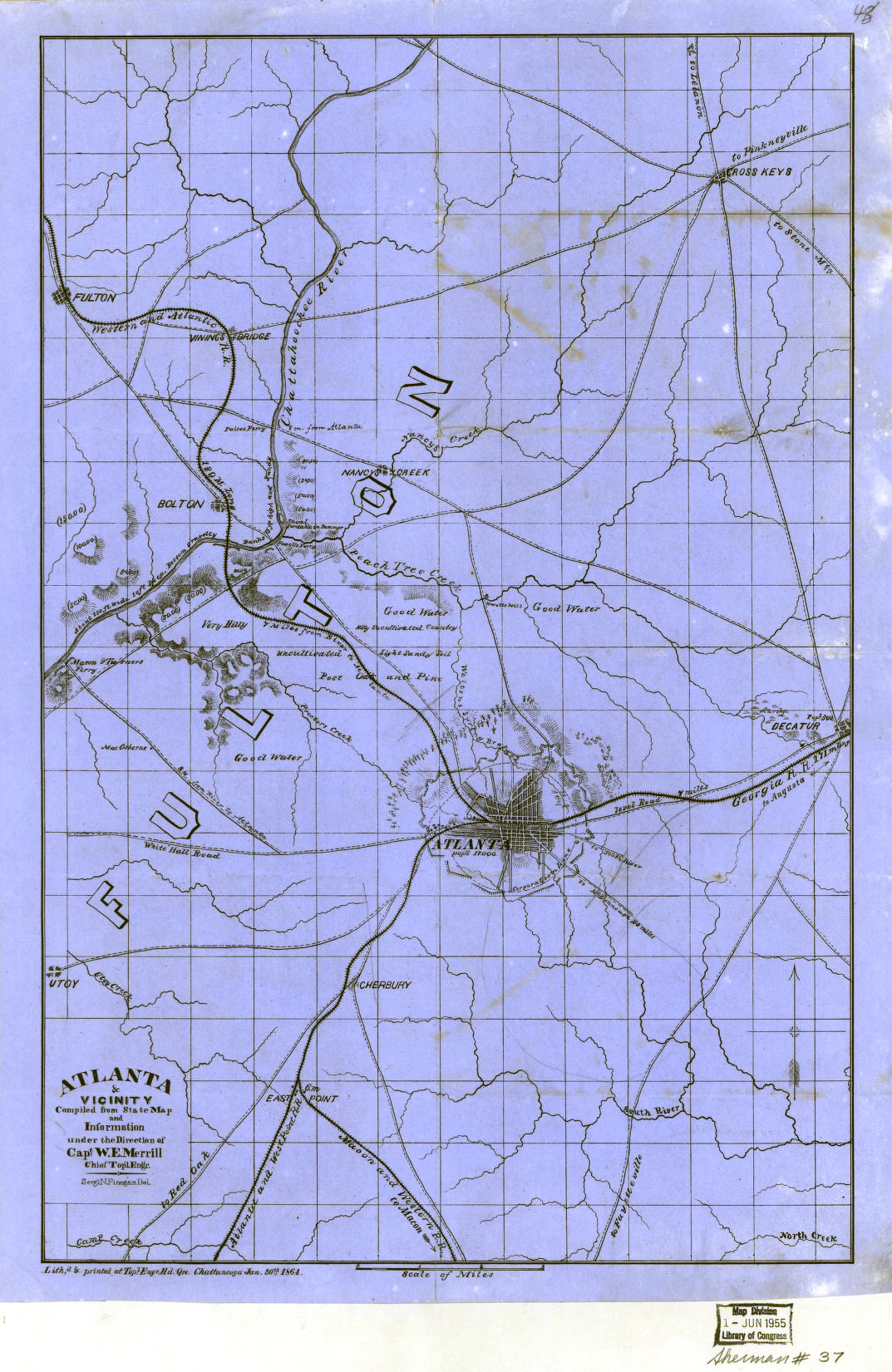
"Atlanta & vicinity : compiled from state map and information / under the direction of W.E. Merrill, Chief Topl. Engr. ; Sergt. N. Finegan," Del., 1864. (Library of Congress, Geography and Map Division) |
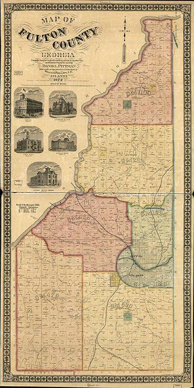
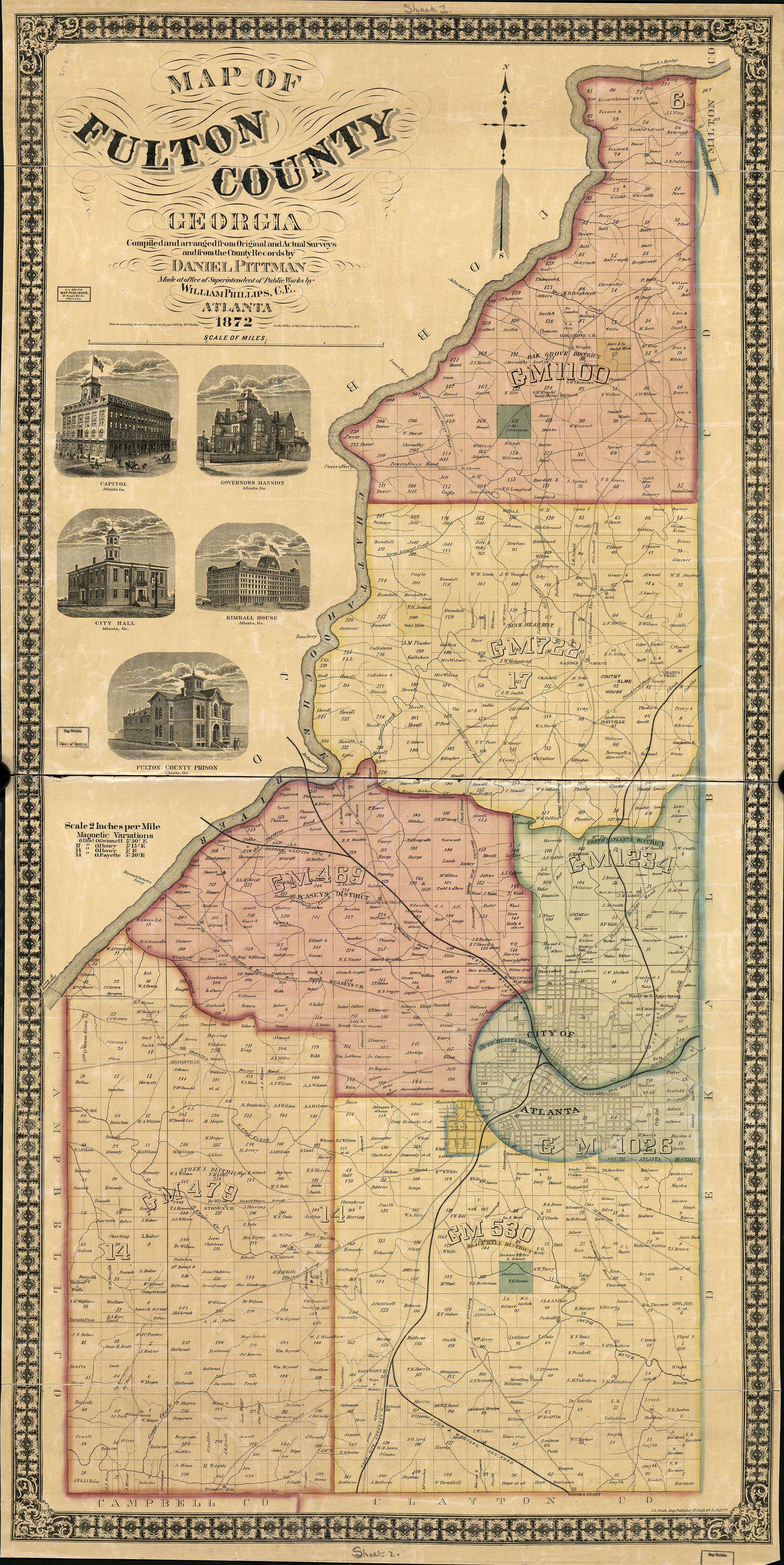
"Map of Fulton County, Georgia," William Phillips, 1872. (Georgia Archives) |
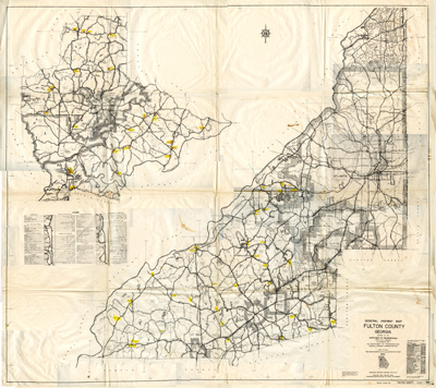
"General Highway Map Fulton County, Georgia," 1966 with annotated changes through 1974; Georgia Department of Transportation. This was among the last maps to depicat individual residences in unincorporated areas. (scanned from author's collection) |
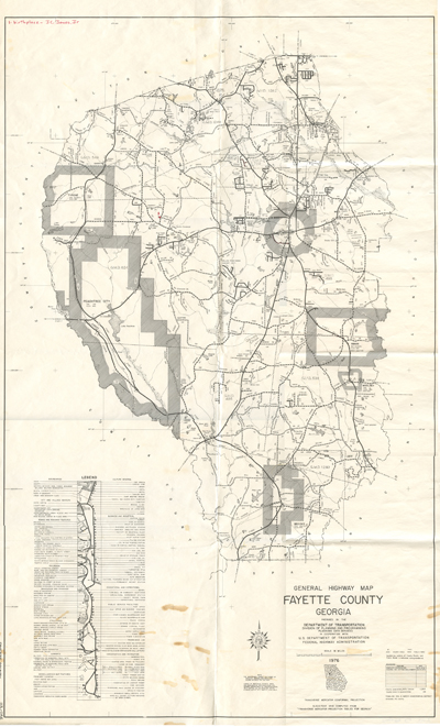
"General Highway Map Fayette County, Georgia," 1976, Georgia Department of Transportation. (scanned from author's collection) |
|
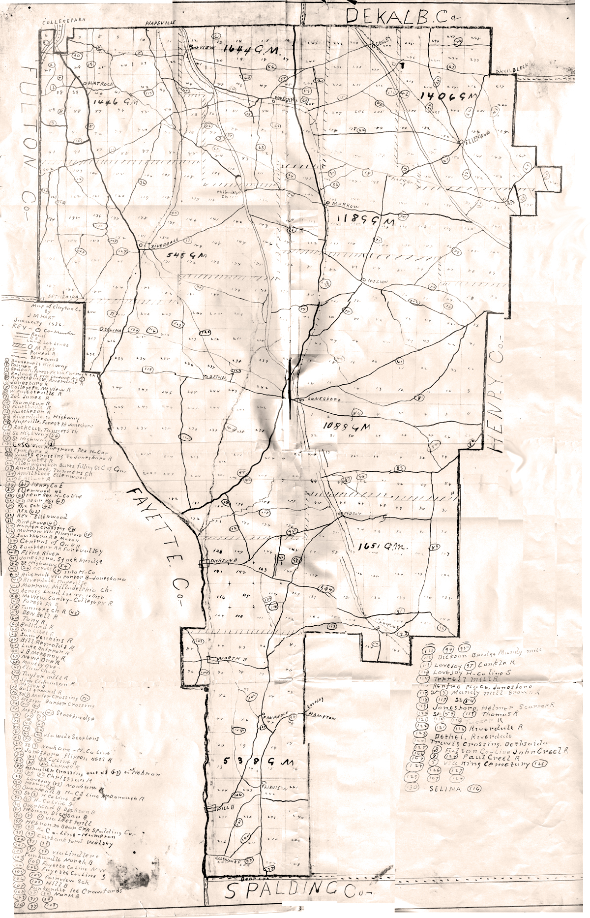
"Map of Clayton Co By J M Hart January 1936." Composite
of photocopied portions of the original map. (Georgia Archives)
|
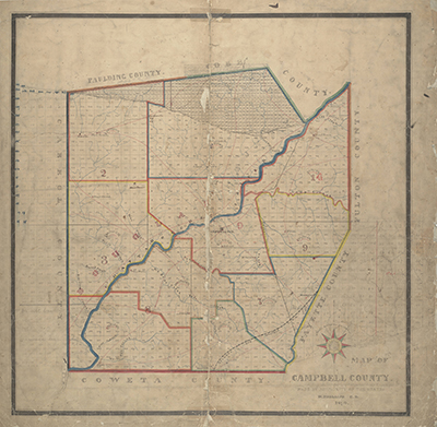
"Map of Campbell County [Georgia]," by W. Phillips, 1870. (Georgia Archives) |
|